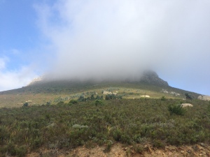
Clouds around Lions Head. It got more later on
The last peak: Lions Head. I have been up there a few years ago, and it is in general an easy path to find. But it’s not an easy path to go up. The last section is more climbing than hiking or running.
I started at Signal Hill Road, at some 300 m elevation. From there I ran, hiked, climbed up to the peak at 670 m elevation. It took me 37 minutes, including a detour I hopefully am not going to take on race day 🙂


The weather wasn’t inviting for such a hike, but this came with an advantage: Almost no other people on the path. I trust in total I met 8 people.
After running up and down I had a final part to do: I wanted to see the connecting path between Signal Hill Road and the roads of the inner city. From the starting and turnaround point of the Three Peaks Challenge I have to run along the roads of the inner city. No problem with that. But there is a direct connection from the city to Signal Hill I never saw before. So I looked for it and ran along this connecting path.
I’m happy I did it, since I took a wrong turn. I still made it to the road I wanted to get to, but it wasn’t the direct route. Luckily I met two rangers from SANPARKS and they helped me to find the direct path back.
So, I trust I am set now.

Almost on the top
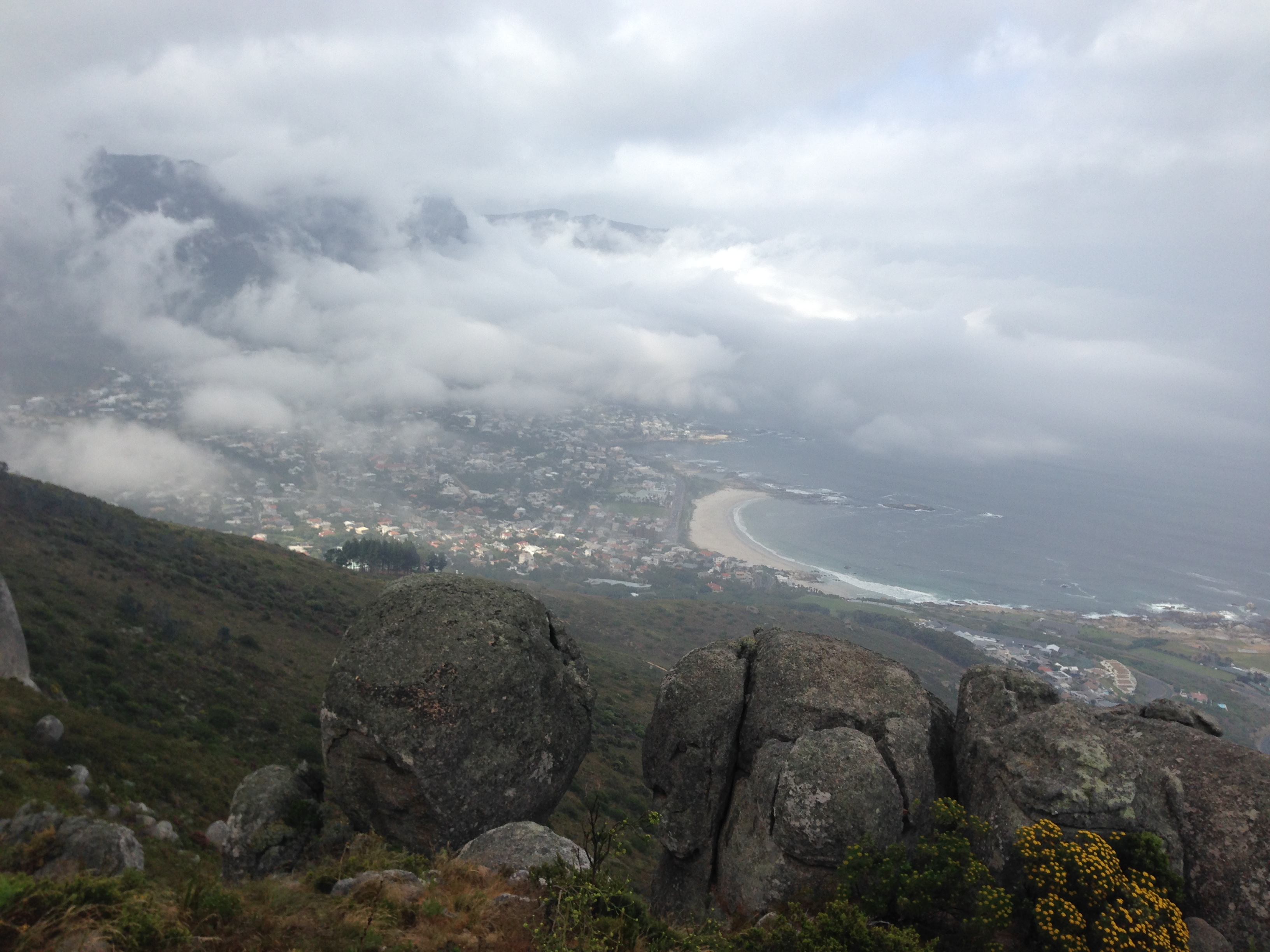
A few moments without clouds and fog, looking towards Camps Bay

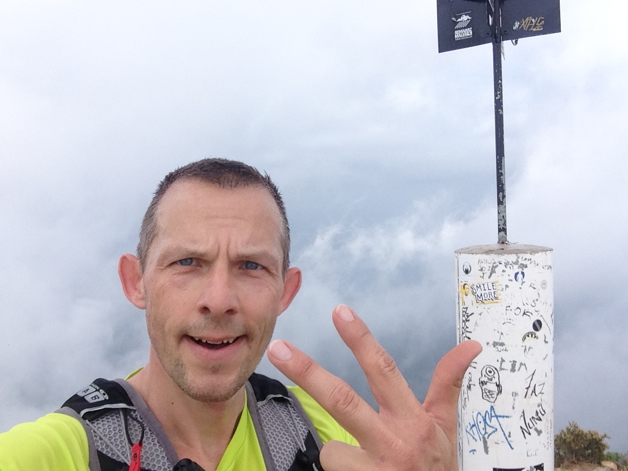
On top of Lions Head
| Distance | 9.2 km / 5.7 mi trail (400 m elevation) |
| Time | 1 h 28 min |
| Monthly distance (October) | 205.7 km / 127.8 mi |
| Annual distance | 2,226.8 km / 1,383.7 mi |